Past Project
RWJF – Healthy Eating Research
In a study funded by the Robert Wood Johnson Foundation’s Healthy Eating Research and New Connections Programs, we (Naa Oyo A. Kwate and Ji Meng Loh) investigated the spatial relationship between fast food and schools, and the role of school and neighborhood segregation in shaping these relationships. This work grew in part out of our work on inequality in the distribution of fast food across the five boroughs of New York City, where we found that the proportion of Black residents in census block groups was the strongest predictor of fast food density. Given the high rates of childhood obesity among Black and Latino youth in NYC, we asked: 1) Does fast food cluster around schools (public and private; elementary and high school) in the city? We defined clustering as falling within a 400m Euclidean radius of the school. 2) If there is evidence of clustering, is it stronger in predominantly Black neighborhoods or around predominantly Black schools? The results were affirmative for both questions.


The two figures show the differences in exposure for predominantly Black and White elementary and high schools. The x-axis, r, shows the distance in 100s of meters (i.e., 5=500m). The y axis shows the number of times more points than would be expected if spatial proximity was random. Variables stratified as high and low refer to the upper 75th percentile and lower 25th percentile, respectively. If there is no spatial relationship between schools and fast food restaurants, the y-axis value = 1. Dotted lines indicate the bounds of uncertainty—upper and lower 5% of the spatial proximity between elementary schools and randomly generated points following the estimated densities of FFRs. Values above the upper bound indicate more fast food clustering than would be expected by chance; values lower than the lower bound indicate less fast food clustering than would be expected by chance.
Related Materials
Sub-study investigating the concordance between Euclidean and street-network analyses.
Powerpoint slideshow from CDC on obesity rates in the U.S.
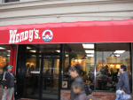
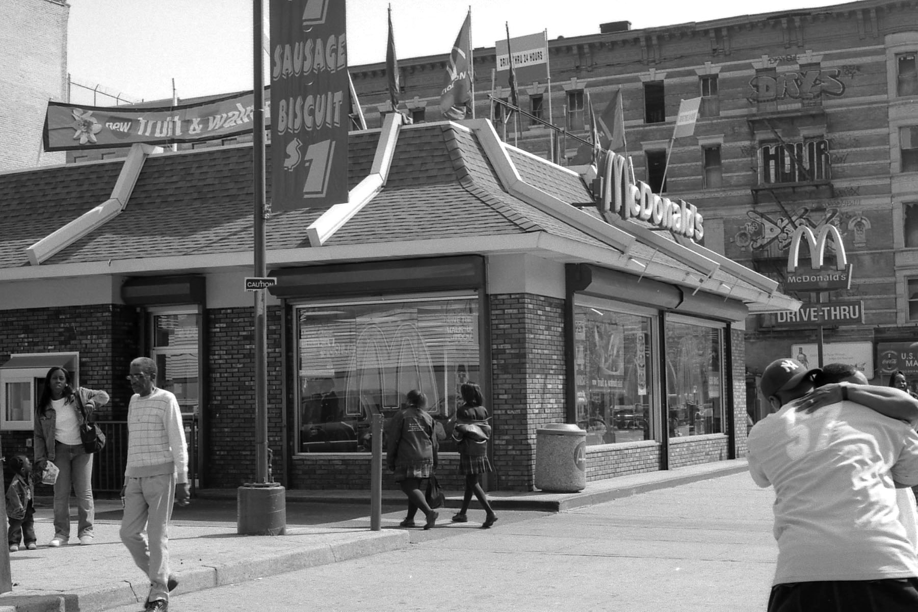
Slideshow of photos of the fast food restaurants